")
Randonnée au mont Bromont : Guide complet du sentier de 15 km (à 40 minutes de Montréal)
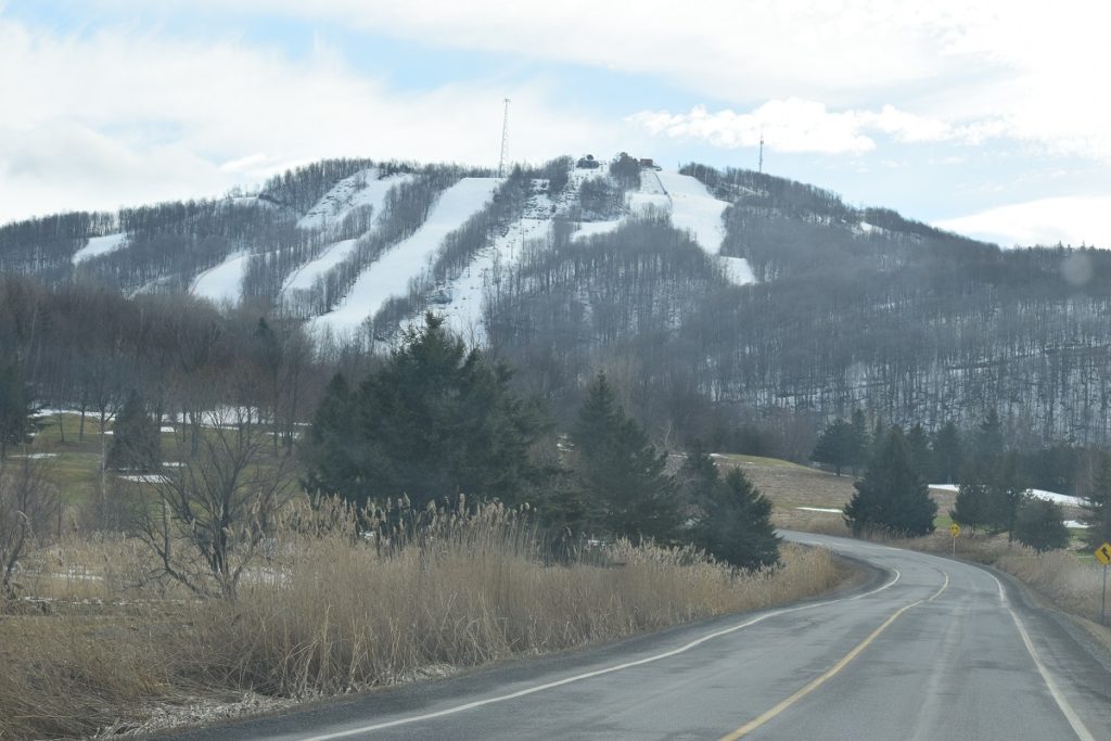
Mont Bromont Située au cœur des Cantons-de-l'Est, à environ 40 à 50 minutes au sud-est du centre-ville de Montréal, la montagne de l'Est est l'une des plus proches de la ville et offre un véritable réseau de sentiers de randonnée balisés. C'est aussi l'une des rares destinations d'excursion d'une journée où l'on peut combiner une randonnée de 15 km avec une dégustation de vins, une visite chez un chocolatier et une baignade, le tout en un après-midi. Ce guide vous présente les sentiers, comment vous y rendre, quoi emporter, la meilleure saison et des suggestions d'activités pour profiter pleinement de votre journée.
Pourquoi le Mont Bromont vaut le détour
Bromont se situe au pied des Appalaches et se caractérise par ses sommets arrondis, ses denses forêts d'érables et de bouleaux, et ses vues panoramiques sur la ville et la vallée de la Yamaska. Contrairement au Mont-Saint-Hilaire (plus fréquenté et plus petit) ou à La Mauricie (plus éloignée et plus sauvage), Bromont offre un véritable dénivelé et des sentiers paisibles, tout en restant à moins d'une heure de Montréal. La montagne est une station quatre saisons : ski en hiver, vélo de montagne en été. Le réseau de sentiers de randonnée est gratuit la majeure partie de l'année et est très bien balisé.
Comment s'y rendre depuis Montréal
Prendre Autoroute 10 Est (Autoroute des Cantons-de-l'Est) depuis le centre-ville de Montréal et utiliser Sortie 78 (Bromont). Le trajet en voiture dure environ 45 minutes en dehors des heures de pointe et entre 60 et 75 minutes par beau temps, le samedi matin en été ou en automne. Il n'y a pas de transport en commun rapide direct jusqu'au point de départ du sentier. Le bus régional Limocar s'arrête près du village, mais il vous faudra tout de même prendre un taxi ou un VTC pour rejoindre le début du sentier.
Parking: Le stationnement au point de départ du sentier, au pied de la montagne (près du Versant du Lac), est gratuit hors saison de ski. Le village offre également du stationnement gratuit dans les rues près du lac Bromont si vous souhaitez combiner la randonnée avec une visite du lac.
La boucle de 15 km : à quoi s'attendre
Le circuit classique de 15 km combine plusieurs sentiers de niveau intermédiaire autour de la face sud du mont Bromont. Prévoir :
- Dénivelé positif : environ 450 à 500 m
- Durée totale : 4 à 5 heures à un rythme régulier, avec des arrêts pour admirer les points de vue et prendre des photos.
- Terrain: Terre compactée, affleurements rocheux, racines apparentes, quelques courtes escalades près du sommet
- Difficulté: Niveau intermédiaire — les débutants en bonne forme physique peuvent la réaliser avec des chaussures de randonnée et une bonne hydratation.
- Balisage du sentier : Signalétique à code couleur (vert = facile, bleu = intermédiaire, noir = avancé), bien entretenue
Alternatives plus courtes et plus longues
- Boucle familiale de 5 km près du chalet de base — terrain plat, accessible aux poussettes pendant les mois secs, idéal pour les enfants et les personnes âgées.
- 8 km aller-retour jusqu'au sommet — Ascension directe, vue panoramique au sommet, environ 2,5 heures aller-retour.
- Réseau complet de VTT (plus de 100 km) — De nombreux sentiers sont partagés, alors portez des couleurs vives et restez vigilant en été.
La carte complète des sentiers est disponible au centre d'accueil ou téléchargeable gratuitement au format PDF sur le site officiel de la station de Bromont. Pensez à la sauvegarder avant votre départ, car la couverture cellulaire est irrégulière sur les pentes opposées.
Meilleure période de l'année pour randonner sur le mont Bromont
- De fin mai à mi-juin : Fleurs sauvages, moins de monde, canopée verdoyante luxuriante.
- Juillet et août : Il fera chaud, mais attendez-vous à des orages l'après-midi — partez tôt et surveillez le radar.
- De fin septembre à mi-octobre : Couleurs d'automne à leur apogée. C'est la période la plus fréquentée et la plus photogénique ; privilégiez un jour de semaine si possible.
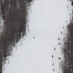
- Hiver: Les pistes de ski occupent le sommet, mais les sentiers inférieurs sont ouverts à la raquette et à la randonnée hivernale (location de crampons au village).
Que faut-il apporter ?
- Au moins 2 litres d'eau par personne (3 litres en été)
- Chaussures de randonnée avec maintien de la cheville — les baskets glisseront sur les passages rocailleux
- Vêtements multicouches — le sommet peut être de 5 à 8 °C plus froid que la base
- En-cas : mélange de noix, fruits, un sandwich pour le sommet
- Crème solaire et chapeau (une grande partie du sentier inférieur est exposée au soleil)
- Répulsif anti-tiques à la fin du printemps et en été — les tiques sont maintenant implantées dans les cantons.
- Une petite trousse de premiers secours et une carte du sentier imprimée ou hors ligne
- Le spray anti-ours n'est pas nécessaire — les ours noirs sont présents mais rarement aperçus sur les sentiers de randonnée.
Conseils de photographie
Les plus belles photos depuis le sommet sont prises une heure avant le coucher du soleil, lorsque la lumière illumine le village et la rivière Yamaska au loin. Munissez-vous d'un objectif grand angle pour le panorama et d'un filtre polarisant pour atténuer la brume lors des chaudes journées d'été. En automne, le versant sud-est est le premier à s'illuminer le matin : les randonneurs qui partent au lever du soleil peuvent ainsi immortaliser les plus beaux feuillages.
Que combiner avec la randonnée
L'une des principales raisons de se rendre à Bromont est ce qui entoure la montagne :
- Village de Bromont — vieux village piétonnier avec boutiques, chocolatiers (essayez La Chocolaterie de l'Île d'Orléans), et plusieurs restaurants pour un repas après la randonnée.
- Lac Bromont — une petite plage publique pour se baigner après une randonnée estivale sous le soleil.
- Magasins d'usine de Bromont — Plus de 60 magasins d'usine de marques si vous souhaitez combiner activités de plein air et shopping.
- Route des Vins — Plus de 20 vignobles dans les Cantons-de-l'Est, à moins de 30 minutes de Bromont. Conducteur désigné requis.
- Parc aquatique de Bromont (en été) — Le plus grand parc aquatique du Québec, sur la même montagne.
FAQ : Randonnée sur le mont Bromont
La randonnée au Mont Bromont est-elle gratuite ?
Oui, les sentiers de randonnée sont gratuits en dehors de la saison de ski. Il n'y a pas de droit d'entrée ni de frais de stationnement aux parkings au pied des pistes.
Les chiens sont-ils autorisés sur les sentiers ?
Oui, sur la plupart des sentiers, en laisse. Apportez de l'eau et des sacs à déjections canines. Sur certaines pistes cyclables partagées, les chiens sont interdits en pleine saison estivale ; consultez la carte des sentiers.
Le parcours de 15 km est-il adapté aux enfants ?
Généralement déconseillé aux moins de 10 ans. Pour les familles avec de jeunes enfants, le parcours familial de 5 km est plus adapté.
Est-il possible de faire cette randonnée en hiver ?
Les sentiers de basse altitude sont ouverts à la raquette. Les pistes du sommet sont fermées pendant les opérations de ski ; renseignez-vous sur les conditions avant de partir.
Comment le Mont Bromont se compare-t-il au Mont-Saint-Hilaire?
Bromont est plus grande, moins fréquentée et offre un réseau de sentiers continu plus étendu. Saint-Hilaire est plus proche de Montréal, mais plus petite et très achalandée les fins de semaine.
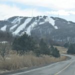
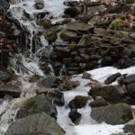
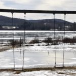
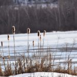
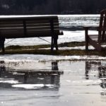
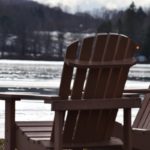
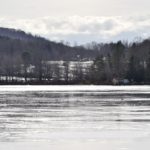
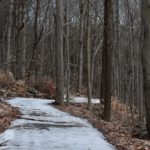
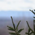
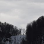
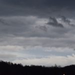
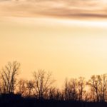
Photos de la randonnée du Mont Bromont

Randonnées près de Montréal
Si vous appréciez le mont Bromont, voici d'autres randonnées d'une journée accessibles en voiture :
- Randonnée au Mont Sutton — un peu plus loin, altitude similaire, ambiance plus sauvage
- Randonnée dans le parc du Mont Saint-Bruno — plus proche, plus facile, adapté aux familles
- Centre de la nature du Mont-Saint-Hilaire — la courte randonnée emblématique près de Montréal
- Parc national de la Mauricie — option journée complète en pleine nature


Rétroliens et pingbacks
[…] vous vous trouvez à Bromont, que ce soit pour skier, faire de la randonnée, vous détendre dans l'un des meilleurs spas près de Montréal ou simplement pour profiter des magnifiques paysages et […]
Les commentaires sont fermés.