Tag Archive for: montreal

reflection of sky on water la mauricie national park

La Mauricie National Park is a Parks Canada wilderness destination roughly two hours north of Montreal, in the Mauricie region. Covering 536 km² of Canadian Shield forest, glacial lakes, and dramatic granite outcrops, it’s one of the best places near Montreal for a real wilderness day trip or multi-day camping adventure. This is the complete 2026 guide: trails, lakes, drive, fees, and what to combine with the visit.

Why La Mauricie Is Worth the Drive

Unlike day-trip parks closer to Montreal, La Mauricie feels remote. You’ll find moose, black bears, beavers, and over 150 lakes inside the park boundary. The famous Promenade scenic drive crosses the whole park with viewpoints over the lakes, and several short trails connect to longer wilderness routes. Fall colours here are among the most spectacular in eastern Canada.

How to Get There from Montreal

Take Highway 40 East to exit 217, then follow Route 351 North to Saint-Mathieu-du-Parc or Saint-Jean-des-Piles entrances. Drive time is approximately 2 hours from downtown Montreal. There is no direct public transit — a car or rental is essential.
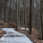
Top Hikes

  • Les Cascades (5.4 km loop): Easy family hike past waterfalls. ~2 hours.
  • Lac Solitaire (6 km out-and-back): Forest hike to a hidden lake. ~3 hours.
  • Le Deux-Criques (14 km loop): Intermediate full-day hike with panoramic viewpoints over the park.
  • Laurentian Trail (75 km): Multi-day backpacking route across the park. Requires permits.

Lakes and Paddling

Canoe and kayak rentals are available at Lac Wapizagonke and Lac Édouard. Both lakes are stunning — Wapizagonke has the iconic narrow channel framed by granite cliffs that appears on most Mauricie postcards. Paddle for a day or arrange a multi-day canoe-camping trip.

Camping

  • Frontcountry campgrounds: Mistagance, Wapizagonke, Rivière-à-la-Pêche
  • oTENTik ready-to-camp tents: for families without gear
  • Backcountry camping: on the Laurentian Trail and along several lakes

Reserve through the Parks Canada reservation system — campsites fill fast for summer weekends.

Best Season to Visit

  • Late May–June: Wildflowers, no mosquitoes yet, fewer crowds.
  • July–August: Peak swimming and paddling season. Bring strong bug spray for evenings.
  • Late September–mid October: The famous fall colours of the Canadian Shield. Hotels in the area book out — plan ahead.
  • Winter: Snowshoeing on groomed trails, ice fishing on Wapizagonke.

Fees and Practical Info

  • Daily entry: ~$9.25 CAD adult, free for kids under 17.
  • Annual Parks Canada Discovery Pass covers entry to all Canadian national parks.
  • Facilities: Visitor centres at both entrances, washrooms, drinking water, picnic areas, canoe rentals, small cafés.
  • Cell service: Patchy throughout the park. Download offline maps before arriving.

What to Combine with Your Visit

  • Shawinigan and Cité de l’Énergie: Industrial heritage museum about 30 minutes away.
  • Trois-Rivières: Historic city for a stop on the drive back — riverside walks and great food.
  • Auberge Le Baluchon in Saint-Paulin: A spa retreat 30 min from the park for a relaxing finish.

FAQ: La Mauricie National Park

Do I need a reservation just to enter?
No, day-use entry doesn’t require reservation. Only camping does.

Is the park dog-friendly?
Yes, on leash. Some trails restrict dogs — check at the visitor centre.

How long should I plan to stay?
Minimum a full day. Two to three days lets you combine paddling, hiking, and one of the longer drives.

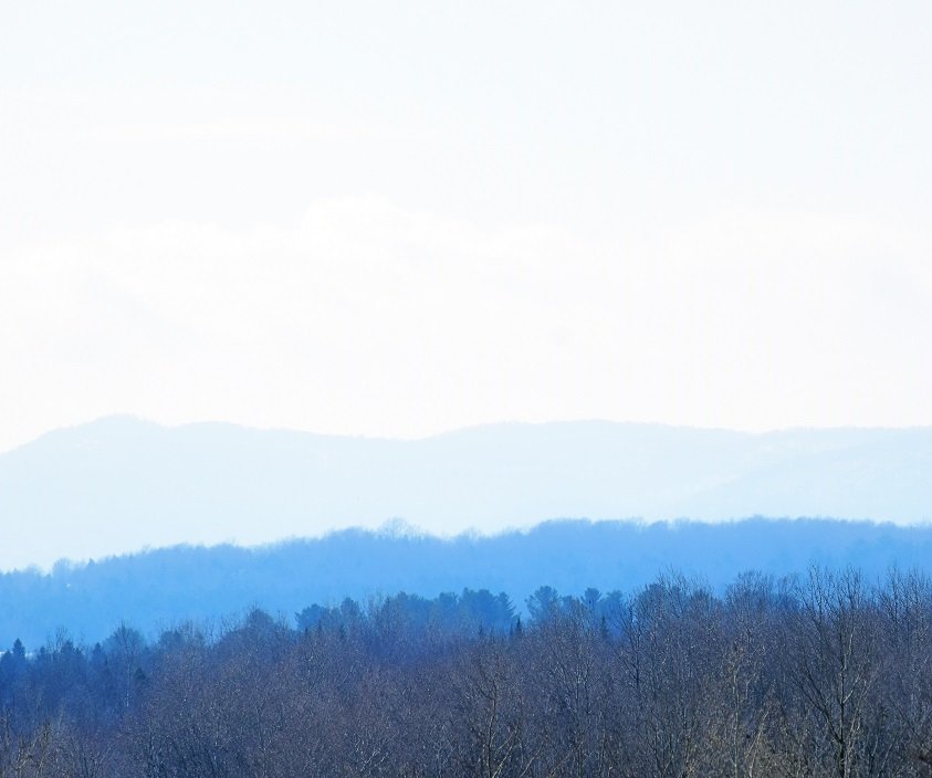
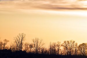
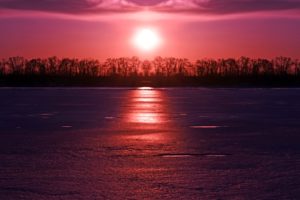
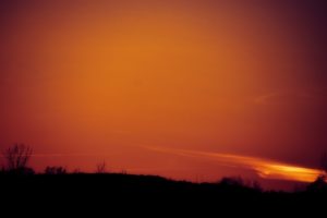
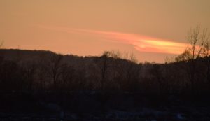
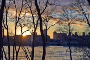
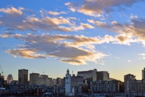
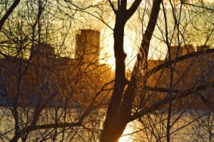
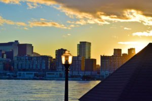
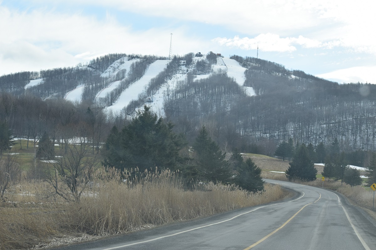
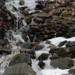
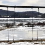
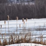
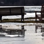
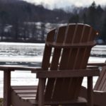
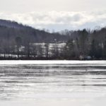
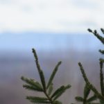
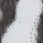
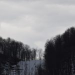
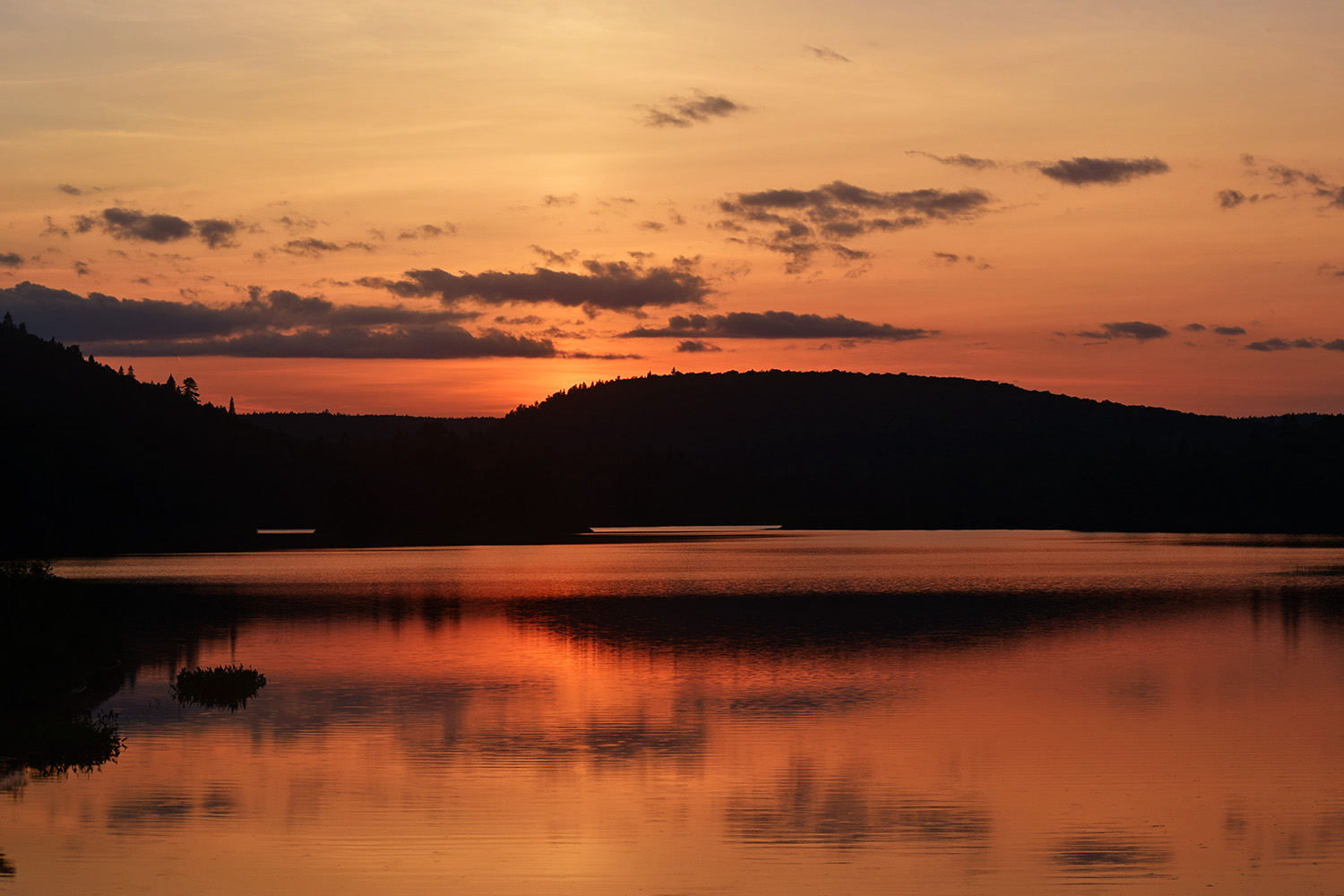
Photos of La Mauricie National Park

Canadian Shield landscapes, Wapizagonke channel, glacial lakes and fall colours.

More National Parks Near Montreal

Pictures of Champlain Bridge sunset

The Samuel-De Champlain Bridge — the newer cable-stayed bridge opened in 2019 — is one of Montreal’s most photogenic landmarks. Spanning the Saint Lawrence between Île des Sœurs and Brossard, it offers a dedicated pedestrian and bike path with sweeping skyline views, dramatic suspension cables, and one of the best sunset perspectives in the city. Here’s the complete 2026 photo and visit guide.

About the Bridge

The Samuel-De Champlain Bridge replaced the original Champlain Bridge in 2019. It is 3.4 km long with three towers carrying the cable-stayed main span. The bridge carries six lanes of vehicle traffic, the REM light rail line, and a wide multi-use path for pedestrians and cyclists.

Best Photo Viewpoints

1. From the pedestrian path on the bridge itself

Walk westward from Brossard at golden hour — the downtown skyline lines up between the suspension cables. Best after 5 PM in summer for the light angle.

2. From Parc de la Voie Maritime, Longueuil

The northern end of this park gives a wide-angle shot of the new bridge silhouetted against the sunset.

3. From Île des Sœurs (Verdun side)

Along the western shore of Nuns’ Island, you get the full sweep of the bridge with downtown behind. Easy access via De L’Église metro + walk.

4. From Habitat 67 / Cité-du-Havre

The bridge in the background, Habitat 67’s brutalist towers in the foreground — one of Montreal’s best architectural photo combinations.

5. From the air (drone restrictions apply)

Drone flying near the bridge requires Transport Canada authorization. Avoid flying without permits.

How to Walk or Bike the Bridge

  • Access points: From Île des Sœurs (Verdun side) and from Brossard (South Shore). Multi-use path on the south side.
  • Length: 3.4 km bridge crossing, plus connecting paths.
  • Surface: Paved, wide, separated lanes for pedestrians and cyclists.
  • Best times: Late afternoon, sunset, blue hour. Avoid early morning (often foggy in shoulder seasons).
  • Wind: Can be very strong on the bridge — secure hats, phones, and lightweight gear.

How to Get There

  • From downtown to Île des Sœurs: Bus 168 or BIXI via Pont de la Concorde.
  • From downtown to Brossard: REM light rail to Brossard, then bike or walk to the bridge entrance.
  • By bike from downtown: ~30 minutes to Île des Sœurs side via the Lachine Canal and Pont de la Concorde.

Best Time of Day for Photos

  • Golden hour (1 hour before sunset): Warm light on downtown towers seen through cables.
  • Blue hour (20 min after sunset): Cobalt sky with bridge architectural lighting on. Magical.
  • Night: The bridge is lit with seasonal colours. Long exposure recommended.
  • Winter: Snow and ice fog create unique atmospheric shots.

Photography Tips

  • Wide-angle 14–24mm for the suspension cables and skyline framing.
  • Mid-range 24–70mm for portraits with the bridge as a backdrop.
  • Bring a tripod for night and blue-hour long exposures (mind pedestrian traffic).
  • Bracket exposures for the high-contrast sunset light.

More Montreal Photo & Skyline Guides

Yamaska National Park

Yamaska National Park is one of the closest SÉPAQ national parks to Montreal — just 40 minutes east, near Granby. With a sandy beach on a large reservoir, a 22 km bike loop, family-friendly hiking, and excellent winter activities, it’s a strong option for a day trip when you want real nature without a long drive. Here’s the complete 2026 guide.

Why Yamaska

The park is built around the Choinière Reservoir, with a real swimming beach, beach concession, paddling rentals, and a 22 km paved cycling loop around the water. It’s flatter and more accessible than Mont Orford or Mauricie — ideal for families, beginner cyclists, and anyone wanting a low-effort nature day.

How to Get There

Highway 10 East to exit 68 (Granby), then follow signs to Parc national de la Yamaska. About 40 to 50 minutes from downtown Montreal.

Top Activities

  • Cycling the 22 km lake loop: Flat, paved, around the entire reservoir. The park’s headline activity.
  • Beach swimming at Plage Choinière: Sandy beach, supervised in summer, family-friendly.
  • Hiking: Le Petit Tour (5 km), Le Mont-Chauve (8 km), several other interconnected paths.
  • Kayak, canoe, SUP rentals at the beach.
  • Winter: 40 km of groomed cross-country skiing, fat biking, and snowshoeing.

Practical Information

  • Entry fee: ~$9.55 adult (2026). Free for kids under 17. SÉPAQ annual pass covers all Quebec national parks.
  • Hours: 8 AM–dusk year-round.
  • Facilities: Welcome centre, washrooms, beach concession, paddling and bike rentals.
  • Dogs: Allowed on leash on most trails, not on the beach.

Best Season

  • July–August: Beach season, paddling.
  • Late September: Fall colours on the bike loop, fewer crowds.
  • Winter: Cross-country skiing — one of the best beginner-friendly Nordic networks near Montreal.

What to Combine

  • Granby Zoo — 10 minutes away, the largest zoo in Quebec.
  • Bromont — water park, factory outlets, vineyards 20 minutes east.
  • Wineries on Route des Vins — Eastern Townships vineyards within 30 minutes.

More Parks Near Montreal

sunset in montreal

Montreal has one of the most underrated skylines in North America for golden-hour photography. The mix of water, bridges, the mountain, and a downtown that faces both east and west means the city offers a different sunset every season. This guide rounds up the 10 best places to watch and photograph the sunset in Montreal, with timing tips, transport, and what to pair each spot with.

When Is the Best Time for Sunset Photos in Montreal?

  • Late June: the latest sunsets of the year, around 8:45 PM. Sky stays bright until almost 10 PM. Best for long-exposure shots over the river.
  • September and October: clearest skies, crisp light, sunsets between 6:30 and 7:30 PM. Best month overall for clean skyline shots.
  • December and January: sunset before 4:30 PM. Cold but dramatic — pink light on snow.
  • March: cleanest air of the year, sharp distant skyline. Underrated.

Use an app like PhotoPills or The Photographer’s Ephemeris to scout the exact sun angle for the spot you have in mind. Aim to be on location 30 to 40 minutes before sunset to catch both the golden hour and the post-sunset blue hour.

1. Belvédère Kondiaronk (Mount Royal Chalet)

The classic view of downtown Montreal from above. Faces south-east, so the sun sets behind you over the mountain — meaning you get warm, golden light landing directly on the downtown towers and the Saint Lawrence River behind. Free, open year-round, accessible by car (Voie Camillien-Houde), bus (#11 from Mont-Royal metro), or a 20-minute walk up from Avenue du Parc.

2. Belvédère Camillien-Houde (East Side of Mount Royal)

Often overlooked because everyone goes to Kondiaronk. Faces east toward the Olympic Stadium and the east end of the island. Best for sunrise, but at sunset the light hits the Stadium and Hochelaga in spectacular ways. Free parking, less crowded.

3. Old Port Clock Tower (Tour de l’Horloge) and Jacques-Cartier Pier

Sunset light bounces off the river and bathes the old stone buildings of Old Montreal in orange. Climb the Clock Tower for a small fee for a 360 view, or stay on the pier with a paddleboat and the lit-up Jacques-Cartier Bridge behind you. Pair with dinner in Old Montreal afterward.

4. Parc Jean-Drapeau and Saint Helen’s Island

This is the spot for the iconic downtown skyline shot with the Biosphere and the river in the foreground. The shoreline path west of the Biosphere faces directly toward downtown. Easily reachable on metro (Yellow Line, Jean-Drapeau station) — just a 10-minute walk. Bring a bike to also catch the Champlain Bridge angle.

5. Champlain Bridge (Pedestrian and Bike Path)

The new Samuel-De Champlain Bridge has a wide pedestrian and bike path that crosses the river. Walking it westward at sunset gives you the downtown skyline framed by suspension cables. Best accessed from the Île-des-Sœurs side. Bring a sturdy phone grip — it can be windy.

6. Parc de la Voie Maritime, Longueuil (South Shore)

An underrated local favorite. The park sits on the South Shore directly across from the Old Port and gives you the full Montreal skyline silhouette as the sun sets behind it. Almost no crowds, free parking, and benches along the water. Reach it via the Longueuil-Université de Sherbrooke metro and a short bike ride.

7. Habitat 67 and Cité du Havre

The walkway at Cité du Havre faces north-west toward the Old Port. At sunset you get the unique brutalist silhouette of Habitat 67 in the foreground and the skyline lighting up beyond it. Bring a tripod for the blue-hour shots once the building lights come on.

8. Parc des Rapides (LaSalle)

For sunset over water without leaving the city, Parc des Rapides on the Lachine Canal area gives you the Lachine Rapids backlit by golden light. Lots of herons and waterfowl, peaceful, and very photogenic for nature-meets-city shots. Free parking on rue Champlain.

9. Atwater Market and the Lachine Canal

The canal mirrors the sky perfectly at sunset, and Atwater Market lights up just after. Walk the path from the market east toward the Old Port for the best reflections. Pair with a picnic from the market.

10. Verdun Riverside Boardwalk and Verdun Beach

Newly redeveloped, Verdun’s riverside boardwalk and urban beach face directly west across the river toward LaSalle and the islands. One of the very few city beaches in Montreal — bring a towel and watch the sun sink into the Saint Lawrence. Metro De L’Église or Verdun, then a 10-minute walk.

Sunset Photography Tips for Montreal

  • Shoot in RAW if your phone or camera supports it — sunset light has wide dynamic range.
  • Use a graduated ND filter for dramatic sky/foreground balance.
  • Stay for blue hour — the 20 minutes after the sun drops are when the skyline lights come on against a cobalt sky. This is when Montreal looks its best.
  • Wind matters — calm evenings give mirror reflections in the river. Check a wind app before heading out to spots like Parc Jean-Drapeau or Cité du Havre.
  • Winter sunsets are short but spectacular — dress in layers and bring hand warmers for your camera batteries.

Best Sunset Spots Map (Quick Reference)

  • For skyline shots: Parc Jean-Drapeau, Parc de la Voie Maritime, Cité du Havre, Verdun Boardwalk
  • For panorama shots: Belvédère Kondiaronk, Belvédère Camillien-Houde
  • For moody / architectural shots: Old Port Clock Tower, Habitat 67, Champlain Bridge
  • For nature-meets-city shots: Parc des Rapides, Lachine Canal, Verdun

Montreal Sunset Photo Gallery

More Montreal Photo Guides

Montreal Hiking spot fro spring

Mont Bromont sits in the heart of the Eastern Townships (Cantons-de-l’Est), about 40 to 50 minutes southeast of downtown Montreal. It is one of the closest mountains to the city with a true network of marked hiking trails, and one of the few day-trip destinations where you can pair a serious 15 km loop with a vineyard tasting, a chocolatier visit, and a swim — all in the same afternoon. This guide covers the trails, how to get there, what to pack, the best season, and what to combine the hike with so you get a full day out of the drive.

Why Mont Bromont Is Worth the Drive

Bromont is part of the Appalachian foothills, with rounded summits, dense maple and birch forest, and panoramic views over the township and the Yamaska Valley. Unlike Mont-Saint-Hilaire (busier, smaller) or La Mauricie (further, wilder), Bromont gives you real elevation and a quiet trail experience while staying within a one-hour radius of Montreal. The mountain is a four-season resort — ski in winter, mountain biking in summer — but the hiking trail network is free to use most of the year and is genuinely well-marked.

How to Get There from Montreal

Take Highway 10 East (Autoroute des Cantons-de-l’Est) from downtown Montreal and use Exit 78 (Bromont). Drive time is around 45 minutes outside rush hour and 60 to 75 minutes on a sunny Saturday morning in summer or fall. There is no direct rapid public transit to the trailhead. The Limocar regional bus drops near the village but you’ll still need a short cab or rideshare to the trail base.

Parking: Trailhead parking at the base of the mountain (near the Versant du Lac base) is free outside peak ski season. The village also has free street parking near Lac Bromont if you want to combine the hike with a lake visit.

The 15 KM Loop: What to Expect

The classic 15 km circuit combines several intermediate trails around the south face of Mont Bromont. Plan for:

  • Elevation gain: approximately 450 to 500 m
  • Total time: 4 to 5 hours at a steady pace, with stops for views and photos
  • Terrain: packed earth, rocky outcrops, exposed roots, a few short scrambles near the summit
  • Difficulty: intermediate — fit beginners can complete it with hiking shoes and proper water
  • Trail markings: color-coded (green=easy, blue=intermediate, black=advanced), well-maintained signage

Shorter and Longer Alternatives

  • 5 km family loop near the base lodge — flat, stroller-friendly in dry months, great for kids and seniors.
  • 8 km out-and-back to the summit — direct climb, panoramic view at the top, around 2.5 hours round-trip.
  • Full mountain biking network (100+ km) — many trails are shared, so wear bright colors and stay alert in summer.

The complete trail map is available at the welcome center or as a free PDF download from the official Bromont mountain site. Save it offline before you leave — cell coverage is patchy on the back slopes.

Best Time of Year to Hike Mont Bromont

  • Late May to mid-June: wildflowers, fewer crowds, lush green canopy.
  • July and August: warm but expect afternoon thunderstorms — start early and watch the radar.
  • Late September to mid-October: peak fall colors. This is the busiest and most photogenic window — go on a weekday if possible.
  • Winter: the ski runs take over the summit, but lower trails are open for snowshoeing and winter hiking (rent crampons in the village).

What to Bring

  • At least 2 L of water per person (3 L in summer)
  • Hiking shoes with ankle support — sneakers will slip on the rocky sections
  • Layered clothing — the summit can be 5 to 8°C cooler than the base
  • Snacks: trail mix, fruit, a sandwich for the summit
  • Sunscreen and a hat (much of the lower trail is exposed)
  • Tick repellent in late spring and summer — ticks are now established in the Townships
  • A small first-aid kit and a printed or offline trail map
  • Bear spray is not necessary — black bears are present but rarely seen on hiking trails

Photography Tips

The best summit shots happen one hour before sunset, when the light hits the township and the Yamaska River in the distance. Bring a wide-angle lens for the panorama and a polarizer to cut through the haze on humid summer days. In autumn, the slope facing south-east lights up first in the morning — sunrise hikers get the best foliage shots.

What to Combine with the Hike

One of the strongest reasons to drive out to Bromont is what surrounds the mountain:

  • Village de Bromont — walkable old village with boutiques, chocolatiers (try La Chocolaterie de l’Île d’Orléans), and several restaurants for a post-hike meal.
  • Lac Bromont — small public beach for a swim after a hot summer hike.
  • Bromont Factory Outlets — over 60 brand outlet stores if you want to combine outdoors with shopping.
  • Route des Vins — over 20 vineyards in the Townships within 30 minutes of Bromont. Designated driver required.
  • Bromont Water Park (in summer) — Quebec’s largest waterpark, on the same mountain.

FAQ: Hiking Mont Bromont

Is hiking at Mont Bromont free?
Yes, the hiking trails are free outside the ski season. There is no entry fee or parking fee at the base lots.

Are dogs allowed on the trails?
Yes, on most trails, on a leash. Bring water and waste bags. Some shared bike trails restrict dogs in peak summer — check the trail map.

Is the 15 km loop suitable for kids?
Generally not under 10. For families with younger children, the 5 km family loop is a better fit.

Can I do this hike in winter?
Lower elevation trails are open for snowshoeing. The summit trails are closed during ski operations — check conditions before going.

How does Mont Bromont compare to Mont-Saint-Hilaire?
Bromont is bigger, less crowded, and offers a longer continuous trail network. Saint-Hilaire is closer to Montreal but smaller and very busy on weekends.

Photos from the Mont Bromont Hike

More Hiking Near Montreal

If you enjoy Mont Bromont, here are other day hikes within driving distance: